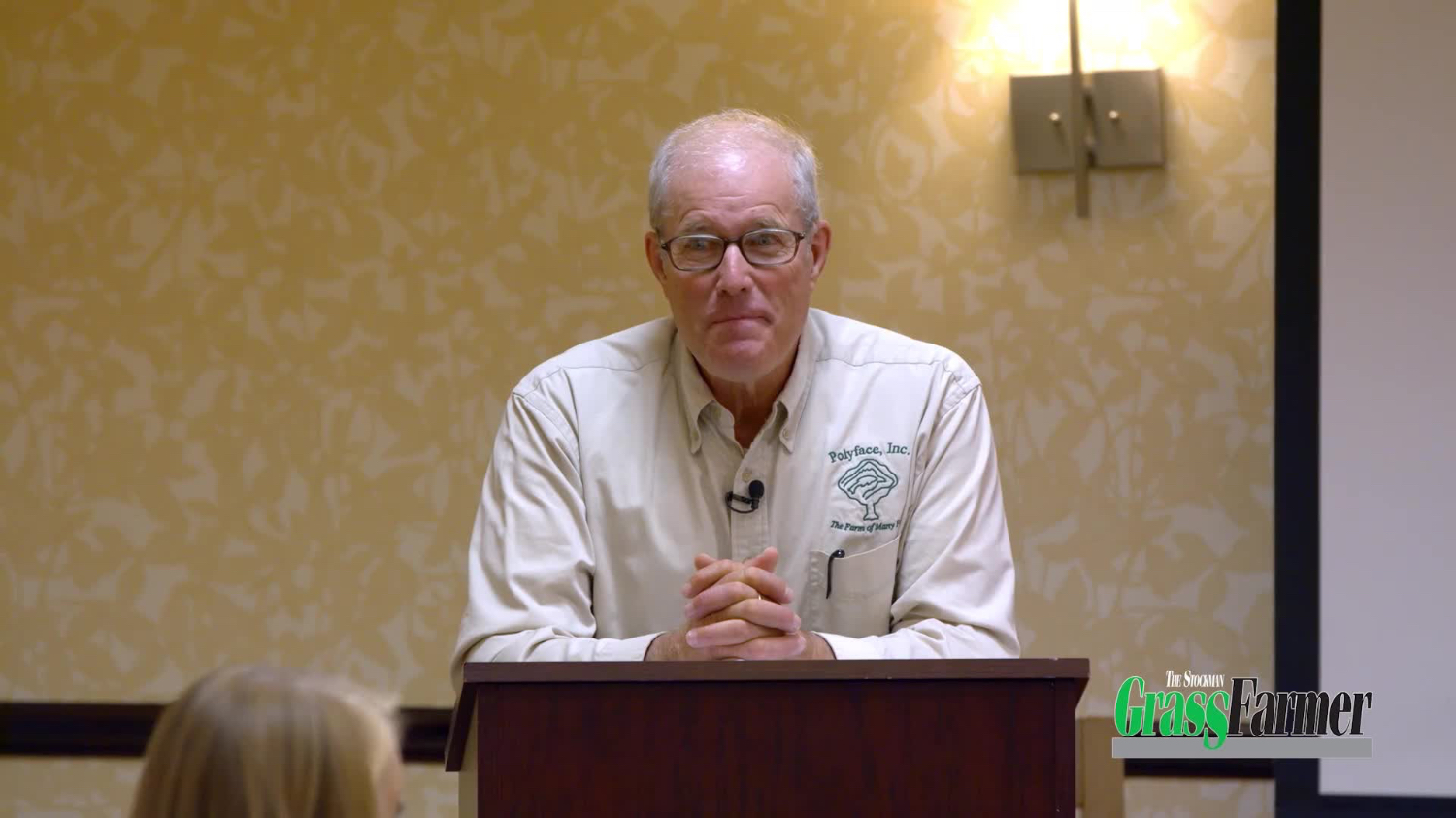
Darren Doherty: Designing Your Landscape (Part 2 of 4)
🎥 Unlock Exclusive Grazing Education – Anytime, Anywhere!
Get instant access to 100+ hours of expert-led grazing courses with SGF TV—all for our lowest monthly price ever! New titles added, price stays the same, cancel anytime.
📲 Tap the link to start streaming now!
www.stockmangrassfarmer.digital/sgfv-podcast
>>>
🎙️ Episode Notes: Darren Doherty: Designing Your Landscape (Part 2 of 4)
📝 Featured Speaker: Darren Doherty, an expert in regenerative agriculture and farm planning.
In this episode, Darren Doherty dives deep into the tools and techniques for effective farm planning and management. The discussion highlights a range of topics, from mapping resources in the US to the history of Keyline design, developed by P.A. Yeomans, and its role in managing water and soil.
Darren explores the Regrarians platform, the use of Google Earth Pro for farm design, and the importance of maintaining 100% ground cover to increase soil organic carbon and water retention. This episode also touches on advanced techniques such as landscape function analysis, agroforestry software, and the design of roads for water catchment.
🔑 Key Points Covered:
1. Mapping Resources in the US:
- Darren discusses the 3DEP LiDAR Explorer and USGS TopoView, both valuable tools for generating detailed farm maps. Historical topographic maps dating back to the 1880s are also available for reference.
2. Regrarians Platform & Google Earth Pro:
- The Regrarians platform includes a template for farm planning, using layers to capture details like boundaries, fencing, land types, and water resources through Google Earth Pro.
3. History of Keyline Design:
- Darren explores the pioneering work of P.A. Yeomans, a mining engineer who developed Keyline design in Australia to improve water management and soil conservation, focusing on dams, irrigation, and landscape function.
4. Landscape Function Analysis:
- Developed by David Tongway, this tool evaluates the stability, infiltration, and nutrient cycling of the soil surface. Darren shares its value in assessing the health and sustainability of your land.
5. Water Management & Infrastructure:
- The importance of maintaining 100% ground cover is emphasized for boosting soil organic carbon and improving water retention. Darren discusses gravity-fed systems, portable infrastructure, and how road design can aid in water catchment.
6. Agroforestry & Farm Planning Software:
- Overyield, a farm planning tool by Propagate Ventures, helps integrate trees into landscapes and analyze the costs and income potential of agroforestry projects.
7. Road Design for Water Catchment:
- Darren introduces gradient catchment roads to capture and direct runoff water into storage systems, which helps maintain water levels even with reduced runoff.
🌱 Actionable Insights:
1. Generate a farm map using resources like LiDAR data and historical topographic maps from the USGS TopoView.
2. Utilize the Regrarians platform template in Google Earth Pro to organize and design your farm, capturing key details about your farm's objectives and infrastructure.
3. Implement landscape function analysis to evaluate the soil surface’s stability, water infiltration, and nutrient cycling on your farm.
4. Focus on maintaining 100% ground cover to promote soil health and improve water retention across your landscape.
5. Explore the use of gravity-fed water systems and portable infrastructure, such as electric fencing and water troughs, to enhance your farm's efficiency.
6. Look into using Overyield software for agroforestry projects to integrate trees and assess their economic and environmental impacts.
7. Consider the benefits of gradient catchment roads to effectively capture runoff water and replenish water sources for your farm.
For more insights and resources, be sure to check out our monthly magazine, live events, and the latest specials here.


